Highlight: Africover
 The UN-FAO has been working closely with other aid organizations and developing countries to promote the sustainable use of natural resources. To effectively implement these programs, up-to-date and accurate mapping of the topography, land cover and land use is critical.

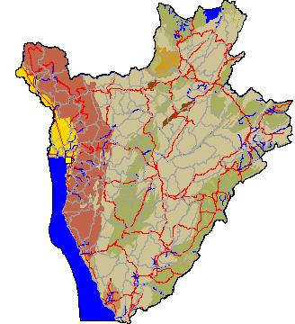
In response to these requirements, FAO implemented a program called Africover which has successfully completed mapping in eight African nations – Rwanda, Uganda, Kenya, Tanzania, Burundi, Egypt, Eritrea, Sudan.
Africover’s goals have been to use remote sensing and GIS technologies for natural resource management; develop an innovative, land cover/land use classification methodology to store information, and provide it in a way to answer user needs; provide capacity building and participation; support spatial data infrastructure (SDI) initiatives; and, build partnerships and alliances. Africover is now becoming a model for global land cover mapping.
When deciding how best to publish and make this wealth of data accessible, FAO chose SKE’s web services and Dynamic Atlas technologies. Our software is helping the UN implement its vision of sustainable development by making quality information accessible and understandable wherever it's needed.

